
La Puebla topographic map
Interactive map
Click on the map to display elevation.
About this map
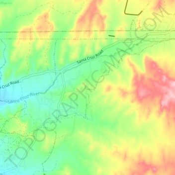
Name: La Puebla topographic map, elevation, terrain.
Location: La Puebla, Santa Fe County, New Mexico, United States (35.97299 -106.02842 36.00210 -105.96441)
Average elevation: 1,805 m
Minimum elevation: 1,735 m
Maximum elevation: 1,898 m
Other topographic maps
Click on a map to view its topography, its elevation and its terrain.