
St. Marie topographic map
Interactive map
Click on the map to display elevation.
About this map
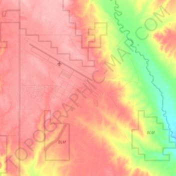
Name: St. Marie topographic map, elevation, terrain.
Average elevation: 811 m
Minimum elevation: 732 m
Maximum elevation: 854 m
Other topographic maps
Click on a map to view its topography, its elevation and its terrain.
Saint Marie
États-Unis d'Amérique > Montana > Valley County
Saint Marie, Valley County, Montana, 59231, États-Unis d'Amérique
Average elevation: 836 m