
Plato topographic map
Interactive map
Click on the map to display elevation.
About this map
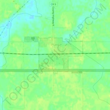
Name: Plato topographic map, elevation, terrain.
Location: Plato, McLeod County, Minnesota, United States (44.76738 -94.05049 44.77636 -94.03049)
Average elevation: 303 m
Minimum elevation: 294 m
Maximum elevation: 308 m