
Hayatabad topographic map
Interactive map
Click on the map to display elevation.
About this map
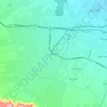
Name: Hayatabad topographic map, elevation, terrain.
Location: Hayatabad, Khyber Pakhtunkhwa, Pakistan (33.93783 71.40650 34.01783 71.48650)
Average elevation: 415 m
Minimum elevation: 352 m
Maximum elevation: 733 m