
Timizart topographic map
Interactive map
Click on the map to display elevation.
About this map
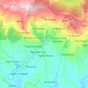
Name: Timizart topographic map, elevation, terrain.
Location: Timizart, Ouaguenoun District, Tizi Ouzou, Algeria (36.74915 4.18297 36.84603 4.29109)
Average elevation: 383 m
Minimum elevation: 124 m
Maximum elevation: 932 m