
Yordi-Rabe Supse WLS topographic map
Click on the map to display elevation.
About this map
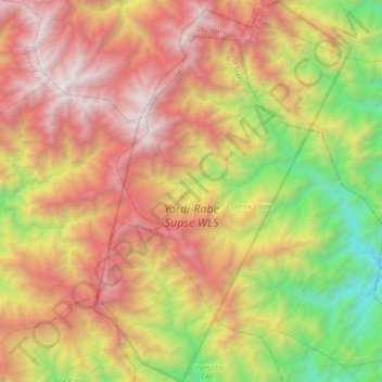
Name: Yordi-Rabe Supse WLS topographic map, elevation, terrain.
Average elevation: 2,063 m
Minimum elevation: 361 m
Maximum elevation: 3,954 m
Other topographic maps
Click on a map to view its topography, its elevation and its terrain.