
ST7 topographic map
Interactive map
Click on the map to display elevation.
About this map
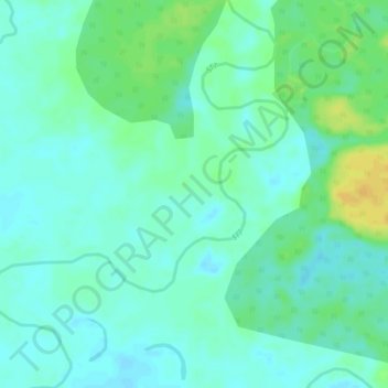
Name: ST7 topographic map, elevation, terrain.
Location: ST7, Tanai Township, Myitkyina District, Kachin, Myanmar (26.37670 96.73598 26.42367 96.77556)
Average elevation: 208 m
Minimum elevation: 200 m
Maximum elevation: 226 m