
Warken topographic map
Interactive map
Click on the map to display elevation.
About this map
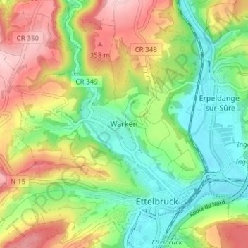
Name: Warken topographic map, elevation, terrain.
Location: Warken, Ettelbruck, Canton Diekirch, 9018, Luxembourg (49.83948 6.07017 49.87948 6.11017)
Average elevation: 275 m
Minimum elevation: 192 m
Maximum elevation: 391 m