
Attalens topographic map
Interactive map
Click on the map to display elevation.
About this map
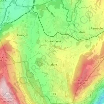
Name: Attalens topographic map, elevation, terrain.
Location: Attalens, District de la Veveyse, Fribourg, Suisse (46.49305 6.83034 46.54047 6.88168)
Average elevation: 783 m
Minimum elevation: 550 m
Maximum elevation: 1,087 m