
Austin topographic map
Interactive map
Click on the map to display elevation.
About this map
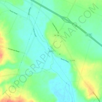
Name: Austin topographic map, elevation, terrain.
Location: Austin, Ross County, Ohio, 43115:45123:45628, United States (39.41673 -83.24241 39.45673 -83.20241)
Average elevation: 245 m
Minimum elevation: 226 m
Maximum elevation: 279 m