
Pentes topographic map
Interactive map
Click on the map to display elevation.
About this map
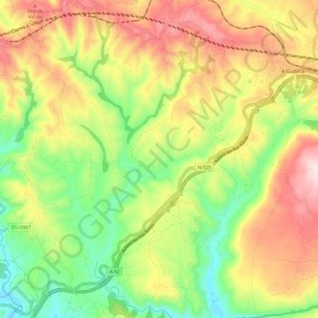
Name: Pentes topographic map, elevation, terrain.
Location: Pentes, A Gudiña, Viana, Ourense, Galice, 32547, Espagne (41.99491 -7.23366 42.07927 -7.14098)
Average elevation: 897 m
Minimum elevation: 663 m
Maximum elevation: 1,172 m