
Sanana Island topographic map
Interactive map
Click on the map to display elevation.
About this map
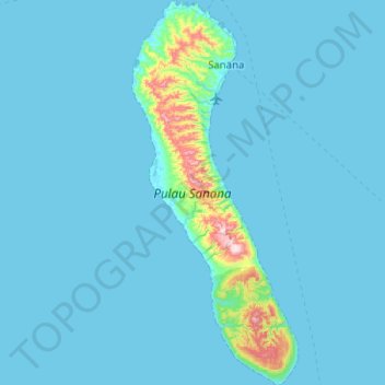
Name: Sanana Island topographic map, elevation, terrain.
Location: Sanana Island, Sula Islands, North Maluku, Indonesia (-2.47727 125.85581 -1.97411 126.07349)
Average elevation: 33 m
Minimum elevation: 0 m
Maximum elevation: 617 m