
chatra topographic map
Click on the map to display elevation.
About this map
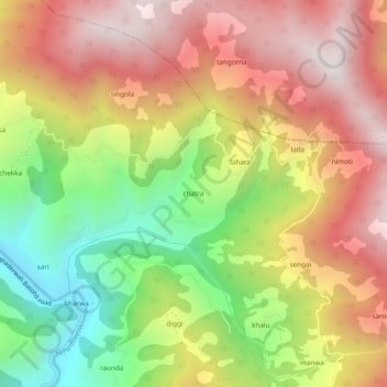
Name: chatra topographic map, elevation, terrain.
Location: chatra, Bhaderwah, Doda District, Jammu and Kashmir, India (33.03923 75.64912 33.07923 75.68912)
Average elevation: 1,837 m
Minimum elevation: 1,278 m
Maximum elevation: 2,333 m