
Sorá topographic map
Interactive map
Click on the map to display elevation.
About this map
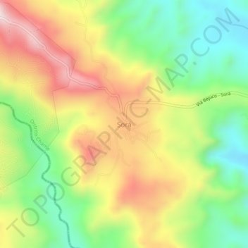
Name: Sorá topographic map, elevation, terrain.
Location: Sorá, Distrito Chame, Panamá Oeste, Panama (8.61528 -80.02988 8.65528 -79.98988)
Average elevation: 411 m
Minimum elevation: 149 m
Maximum elevation: 728 m