
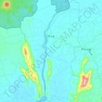
Xã Tà Lài topographic map
Interactive map
Click on the map to display elevation.
About this map
Name: Xã Tà Lài topographic map, elevation, terrain.
Location: Xã Tà Lài, Tân Phú District, Đồng Nai Province, Vietnam (11.32833 107.33516 11.39961 107.38979)
Average elevation: 131 m
Minimum elevation: 103 m
Maximum elevation: 335 m