
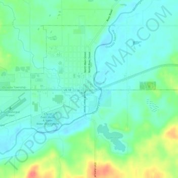
Evart topographic map
Interactive map
Click on the map to display elevation.
About this map
Name: Evart topographic map, elevation, terrain.
Location: Evart, Osceola County, Michigan, United States (43.88648 -85.30621 43.91501 -85.25094)
Average elevation: 316 m
Minimum elevation: 299 m
Maximum elevation: 359 m