
Village of Hythe topographic map
Interactive map
Click on the map to display elevation.
About this map
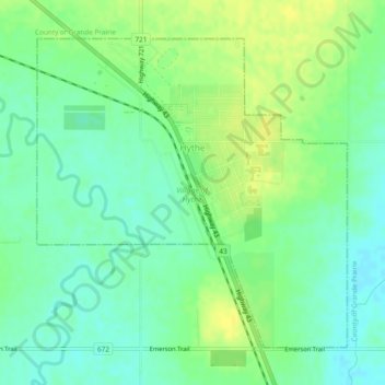
Name: Village of Hythe topographic map, elevation, terrain.
Location: Village of Hythe, Division No. 19, Alberta, Canada (55.31610 -119.57693 55.33778 -119.53868)
Average elevation: 746 m
Minimum elevation: 736 m
Maximum elevation: 756 m