
Belora topographic map
Interactive map
Click on the map to display elevation.
About this map
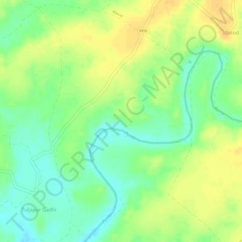
Name: Belora topographic map, elevation, terrain.
Location: Belora, Chandurbazar, Amravati, Maharashtra, India (21.20752 77.63300 21.23372 77.65165)
Average elevation: 356 m
Minimum elevation: 339 m
Maximum elevation: 370 m
Other topographic maps
Click on a map to view its topography, its elevation and its terrain.
Bramhanwada Pathak
India > Maharashtra > Chandurbazar
Bramhanwada Pathak, Chandurbazar, Amravati, Maharashtra, India
Average elevation: 392 m
Ratanpur
India > Maharashtra > Chandurbazar
Ratanpur, Chandurbazar, Amravati, Maharashtra, India
Average elevation: 408 m