
Gacan topographic map
Interactive map
Click on the map to display elevation.
About this map
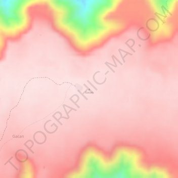
Name: Gacan topographic map, elevation, terrain.
Location: Gacan, Hargeysa هرجيسا, Woqooyi Galbeed, Somaliland, Somalie (10.05847 44.13143 10.05857 44.13153)
Average elevation: 1,168 m
Minimum elevation: 886 m
Maximum elevation: 1,222 m