
Town of Red House / Jóë́’hesta’ topographic map
Interactive map
Click on the map to display elevation.
About this map
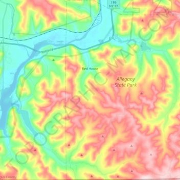
Name: Town of Red House / Jóë́’hesta’ topographic map, elevation, terrain.
Average elevation: 545 m
Minimum elevation: 399 m
Maximum elevation: 730 m