
Lac Castors topographic map
Interactive map
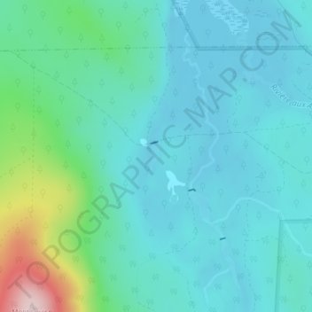
Click on the map to display elevation.
About this map
Name: Lac Castors topographic map, elevation, terrain.
Average elevation: 468 m
Minimum elevation: 406 m
Maximum elevation: 744 m
Other topographic maps
Click on a map to view its topography, its elevation and its terrain.
Mont Gosford
Canada > Québec > Le Granit > Saint-Augustin-de-Woburn
Mont Gosford, Saint-Augustin-de-Woburn, Le Granit, Estrie, Québec, Canada
Average elevation: 933 m