
Azuma topographic map
Interactive map
Click on the map to display elevation.
About this map
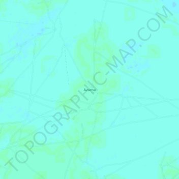
Name: Azuma topographic map, elevation, terrain.
Location: Azuma, Nganzai, Borno, Nigéria (12.53519 13.06990 12.57519 13.10990)
Average elevation: 297 m
Minimum elevation: 295 m
Maximum elevation: 300 m