
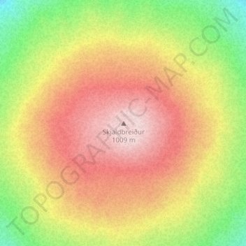
Skjaldbreiður topographic map
Interactive map
Click on the map to display elevation.
About this map
Name: Skjaldbreiður topographic map, elevation, terrain.
Location: Skjaldbreiður, Bláskógabyggð, Suðurland, Islande (64.40919 -20.75187 64.40929 -20.75177)
Average elevation: 910 m
Minimum elevation: 742 m
Maximum elevation: 1,054 m
Le Skjaldbreiður, est un volcan bouclier d'Islande culminant à 1 060 mètres d'altitude.