
Tido topographic map
Interactive map
Click on the map to display elevation.
About this map
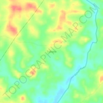
Name: Tido topographic map, elevation, terrain.
Location: Tido, Ijebu East, Ogun, Nigeria (6.87600 4.07889 6.91600 4.11889)
Average elevation: 47 m
Minimum elevation: 21 m
Maximum elevation: 81 m