
Ricks topographic map
Interactive map
Click on the map to display elevation.
About this map
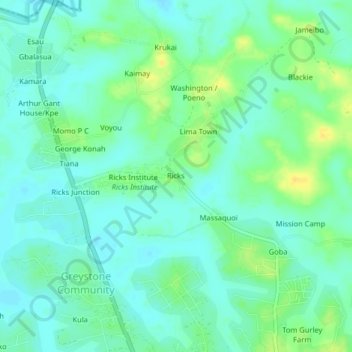
Name: Ricks topographic map, elevation, terrain.
Location: Ricks, St. Paul River, Montserrado County, Liberia (6.45211 -10.81762 6.49211 -10.77762)
Average elevation: 12 m
Minimum elevation: 4 m
Maximum elevation: 27 m