
Kamburu Dam topographic map
Interactive map
Click on the map to display elevation.
About this map
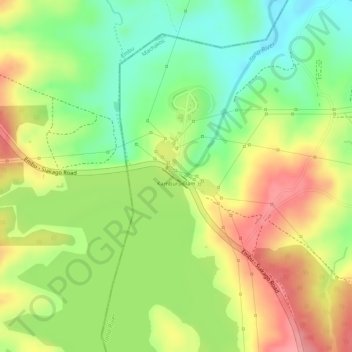
Name: Kamburu Dam topographic map, elevation, terrain.
Location: Kamburu Dam, Masinga, Machakos County, East Kenya, Kenya (-0.80846 37.68519 -0.80664 37.68745)
Average elevation: 1,002 m
Minimum elevation: 950 m
Maximum elevation: 1,053 m
Other topographic maps
Click on a map to view its topography, its elevation and its terrain.