
Ngerengere topographic map
Interactive map
Click on the map to display elevation.
About this map
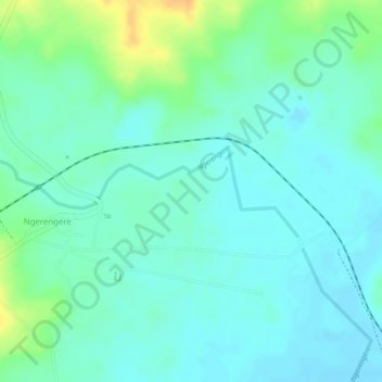
Name: Ngerengere topographic map, elevation, terrain.
Location: Ngerengere, Morogoro, Morogoro Region, Coastal Zone, Tanzania (-6.76359 38.12945 -6.75729 38.14339)
Average elevation: 189 m
Minimum elevation: 178 m
Maximum elevation: 213 m