
Ate topographic map
Interactive map
Click on the map to display elevation.
About this map
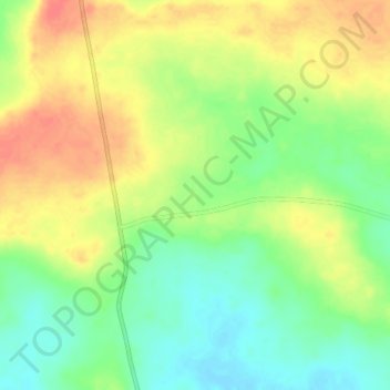
Name: Ate topographic map, elevation, terrain.
Location: Ate, Gwer East, Benue, Nigeria (7.33160 8.21830 7.37160 8.25830)
Average elevation: 152 m
Minimum elevation: 126 m
Maximum elevation: 179 m