
Ubar topographic map
Interactive map
Click on the map to display elevation.
About this map
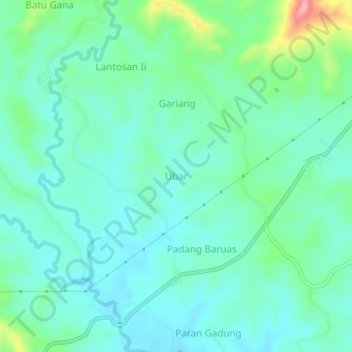
Name: Ubar topographic map, elevation, terrain.
Location: Ubar, Northern Padang Lawas, North Sumatra, Sumatra, Indonesia (1.42315 99.53105 1.46315 99.57105)
Average elevation: 119 m
Minimum elevation: 86 m
Maximum elevation: 235 m