
La Graverie topographic map
Interactive map
Click on the map to display elevation.
About this map
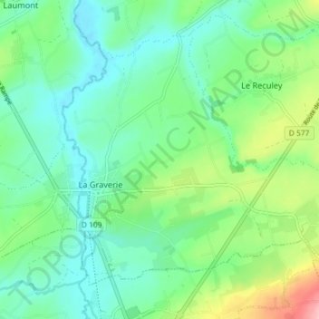
Name: La Graverie topographic map, elevation, terrain.
Average elevation: 116 m
Minimum elevation: 77 m
Maximum elevation: 219 m
Other topographic maps
Click on a map to view its topography, its elevation and its terrain.
Montamy
France > Normandie > Souleuvre-en-Bocage > Montamy
Montamy, Souleuvre-en-Bocage, Vire, Calvados, Normandie, France métropolitaine, 14260, France
Average elevation: 233 m