
Mount Darwin topographic map
Interactive map
Click on the map to display elevation.
About this map
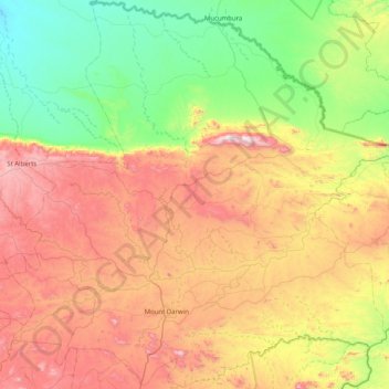
Name: Mount Darwin topographic map, elevation, terrain.
Location: Mount Darwin, Mashonaland Central, Zimbabwe (-16.92528 31.24750 -16.15601 32.05870)
Average elevation: 801 m
Minimum elevation: 358 m
Maximum elevation: 1,496 m
Other topographic maps
Click on a map to view its topography, its elevation and its terrain.