
Fort Regent topographic map
Interactive map
Click on the map to display elevation.
About this map
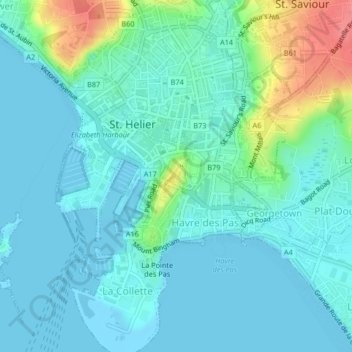
Name: Fort Regent topographic map, elevation, terrain.
Location: Fort Regent, La Chasse, St Helier, JE2 4UH, Jersey (49.17997 -2.10702 49.18328 -2.10357)
Average elevation: 14 m
Minimum elevation: -2 m
Maximum elevation: 70 m