
Bad Bleiberg topographic map
Interactive map
Click on the map to display elevation.
About this map
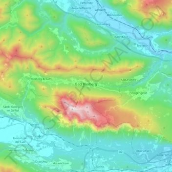
Name: Bad Bleiberg topographic map, elevation, terrain.
Location: Bad Bleiberg, Bezirk Villach-Land, Carinthie, 9530, Autriche (46.58842 13.55415 46.65712 13.76456)
Average elevation: 911 m
Minimum elevation: 495 m
Maximum elevation: 2,155 m