
Llanfihangel Cwmdu with Bwlch and Cathedine topographic map
Interactive map
Click on the map to display elevation.
About this map
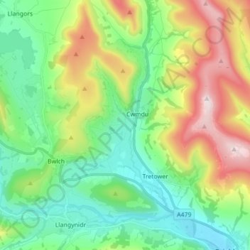
Name: Llanfihangel Cwmdu with Bwlch and Cathedine topographic map, elevation, terrain.
Average elevation: 278 m
Minimum elevation: 66 m
Maximum elevation: 718 m