
Meije topographic map
Interactive map
Click on the map to display elevation.
About this map
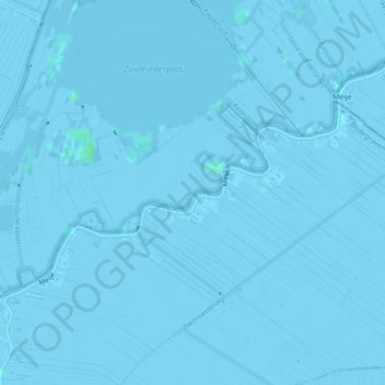
Name: Meije topographic map, elevation, terrain.
Average elevation: -2 m
Minimum elevation: -6 m
Maximum elevation: 4 m
Other topographic maps
Click on a map to view its topography, its elevation and its terrain.
Meije
Pays-Bas > Hollande-Méridionale > Nieuwkoop
Meije, Nieuwkoop, Hollande-Méridionale, Pays-Bas
Average elevation: -2 m
Meije
Pays-Bas > Hollande-Méridionale > Nieuwkoop
Meije, Nieuwkoop, Hollande-Méridionale, Pays-Bas, 2421NC, Pays-Bas
Average elevation: -1 m