
Cheema topographic map
Interactive map
Click on the map to display elevation.
About this map
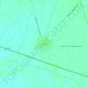
Name: Cheema topographic map, elevation, terrain.
Location: Cheema, Tapa Tahsil, Barnala, Punjab, India (30.38521 75.43987 30.42521 75.47987)
Average elevation: 227 m
Minimum elevation: 224 m
Maximum elevation: 231 m