
Gamasa topographic map
Interactive map
Click on the map to display elevation.
About this map
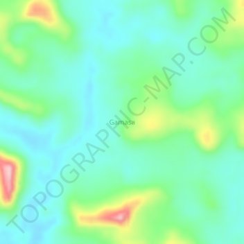
Name: Gamasa topographic map, elevation, terrain.
Location: Gamasa, Libenge, Sud-Ubangi, Democratic Republic of the Congo (4.44667 18.89667 4.48667 18.93667)
Average elevation: 455 m
Minimum elevation: 403 m
Maximum elevation: 602 m