Couf el Guiassa topographic map
Interactive map
Click on the map to display elevation.
About this map
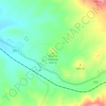
Name: Couf el Guiassa topographic map, elevation, terrain.
Average elevation: 636 m
Minimum elevation: 589 m
Maximum elevation: 726 m

Click on the map to display elevation.
Name: Couf el Guiassa topographic map, elevation, terrain.
Average elevation: 636 m
Minimum elevation: 589 m
Maximum elevation: 726 m