
Perotti topographic map
Interactive map
Click on the map to display elevation.
About this map
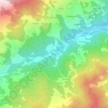
Name: Perotti topographic map, elevation, terrain.
Location: Perotti, Ferriere, Piacenza, Émilie-Romagne, 29024, Italie (44.63427 9.50987 44.67427 9.54987)
Average elevation: 764 m
Minimum elevation: 505 m
Maximum elevation: 1,172 m