
Calder & Hebble Navigation Halifax Cut topographic map
Interactive map
Click on the map to display elevation.
About this map
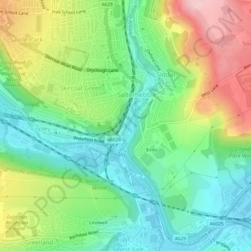
Name: Calder & Hebble Navigation Halifax Cut topographic map, elevation, terrain.
Average elevation: 136 m
Minimum elevation: 63 m
Maximum elevation: 260 m