
Rukomo topographic map
Interactive map
Click on the map to display elevation.
About this map
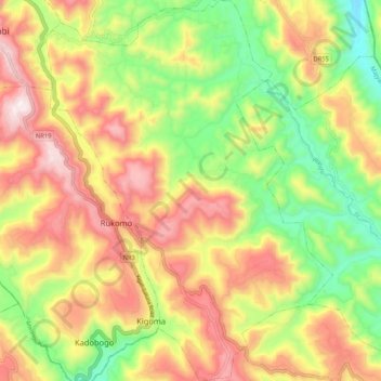
Name: Rukomo topographic map, elevation, terrain.
Location: Rukomo, Gicumbi, Majyaruguru, Rwanda (-1.67255 30.08329 -1.56782 30.16273)
Average elevation: 1,918 m
Minimum elevation: 1,571 m
Maximum elevation: 2,284 m