
Thal topographic map
Interactive map
Click on the map to display elevation.
About this map
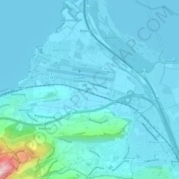
Name: Thal topographic map, elevation, terrain.
Location: Thal, Wahlkreis Rorschach, St. Gallen, Schweiz (47.46274 9.52949 47.50111 9.58313)
Average elevation: 422 m
Minimum elevation: 392 m
Maximum elevation: 716 m
Other topographic maps
Click on a map to view its topography, its elevation and its terrain.
Rorschacherberg
Schweiz > St. Gallen > Wahlkreis Rorschach
Rorschacherberg, Wahlkreis Rorschach, St. Gallen, 9404, Schweiz
Average elevation: 586 m