
Bana topographic map
Interactive map
Click on the map to display elevation.
Bana
The commune is located at a high altitude of 1,418 metres and consequently has a cool climate.
About this map
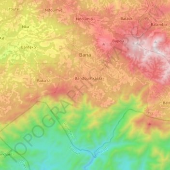
Name: Bana topographic map, elevation, terrain.
Location: Bana, Haut-Nkam, West, Cameroon (5.05720 10.22623 5.18616 10.37812)
Average elevation: 1,248 m
Minimum elevation: 506 m
Maximum elevation: 2,056 m