
Tolland topographic map
Interactive map
Click on the map to display elevation.
About this map
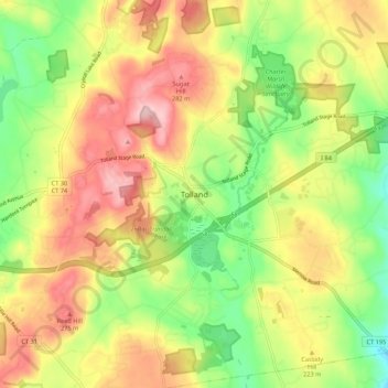
Name: Tolland topographic map, elevation, terrain.
Location: Tolland, Tolland County, Connecticut, 06084, USA (41.83002 -72.40772 41.91002 -72.32772)
Average elevation: 208 m
Minimum elevation: 112 m
Maximum elevation: 308 m