
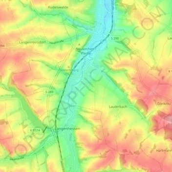
Neukirchen/Pleiße topographic map
Interactive map
Click on the map to display elevation.
About this map
Name: Neukirchen/Pleiße topographic map, elevation, terrain.
Location: Neukirchen/Pleiße, Zwickau, Saxony, 08459, Germany (50.75930 12.33559 50.80772 12.43060)
Average elevation: 291 m
Minimum elevation: 236 m
Maximum elevation: 345 m