
Chullpa Khasa topographic map
Interactive map
Click on the map to display elevation.
About this map
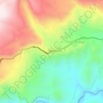
Name: Chullpa Khasa topographic map, elevation, terrain.
Location: Chullpa Khasa, Provincia Tomás Frías, PSI, Bolivie (-19.38895 -65.97127 -19.34895 -65.93127)
Average elevation: 3,694 m
Minimum elevation: 3,374 m
Maximum elevation: 4,104 m