
San Martín topographic map
Interactive map
Click on the map to display elevation.
About this map
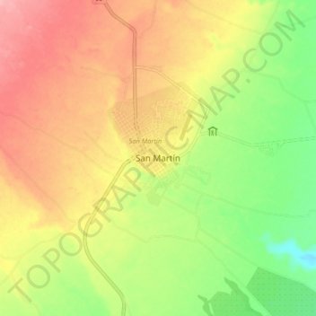
Name: San Martín topographic map, elevation, terrain.
Location: San Martín, Meta, Colombia (3.65439 -73.73529 3.73439 -73.65529)
Average elevation: 415 m
Minimum elevation: 354 m
Maximum elevation: 471 m