
Churchtown-Woodlawn DED 1986 topographic map
Interactive map
Click on the map to display elevation.
About this map
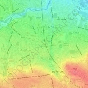
Name: Churchtown-Woodlawn DED 1986 topographic map, elevation, terrain.
Average elevation: 50 m
Minimum elevation: 18 m
Maximum elevation: 86 m