
Deronje topographic map
Interactive map
Click on the map to display elevation.
About this map
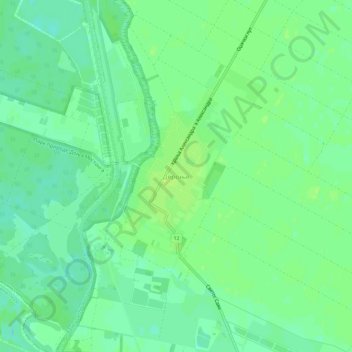
Name: Deronje topographic map, elevation, terrain.
Average elevation: 83 m
Minimum elevation: 76 m
Maximum elevation: 89 m
Other topographic maps
Click on a map to view its topography, its elevation and its terrain.
Bogojevo
Serbia > Vojvodina > West Backa Administrative District > Odzaci Municipality
Average elevation: 83 m