
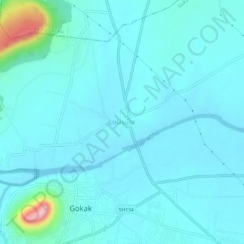
Lolasura topographic map
Interactive map
Click on the map to display elevation.
About this map
Name: Lolasura topographic map, elevation, terrain.
Location: Lolasura, Gokak taluku, Karnataka, 591307, India (16.16344 74.80949 16.20344 74.84949)
Average elevation: 560 m
Minimum elevation: 537 m
Maximum elevation: 737 m